Accessible, rural location
Great location for exploring the Peaks and meeting up with friends!

Great location for exploring the Peaks and meeting up with friends!
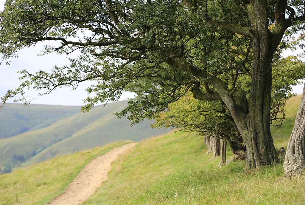
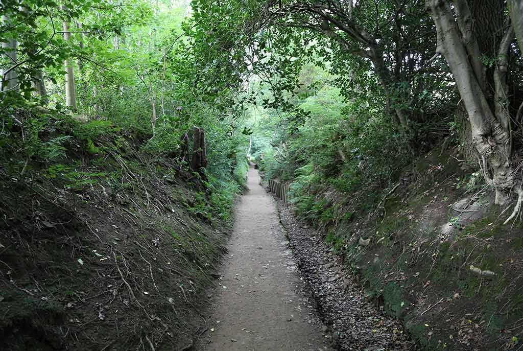
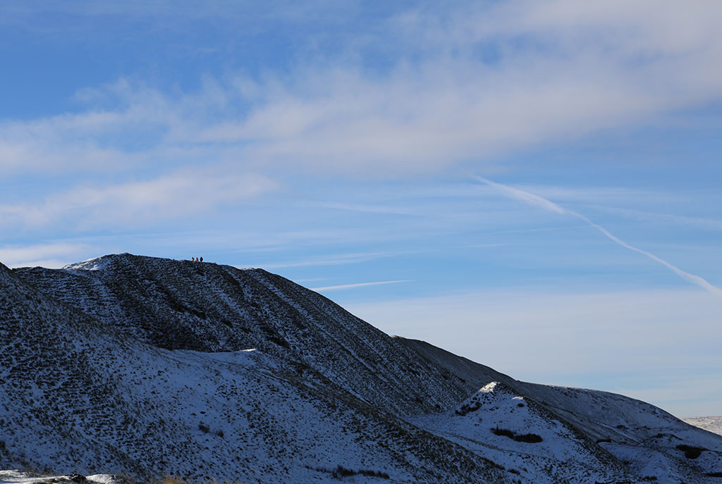
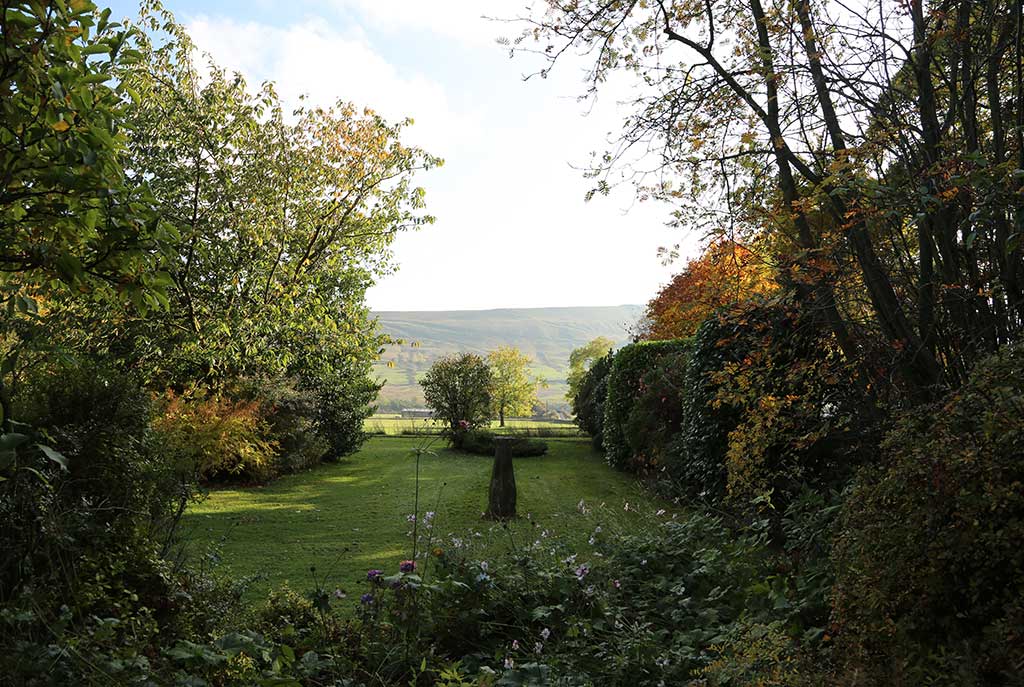
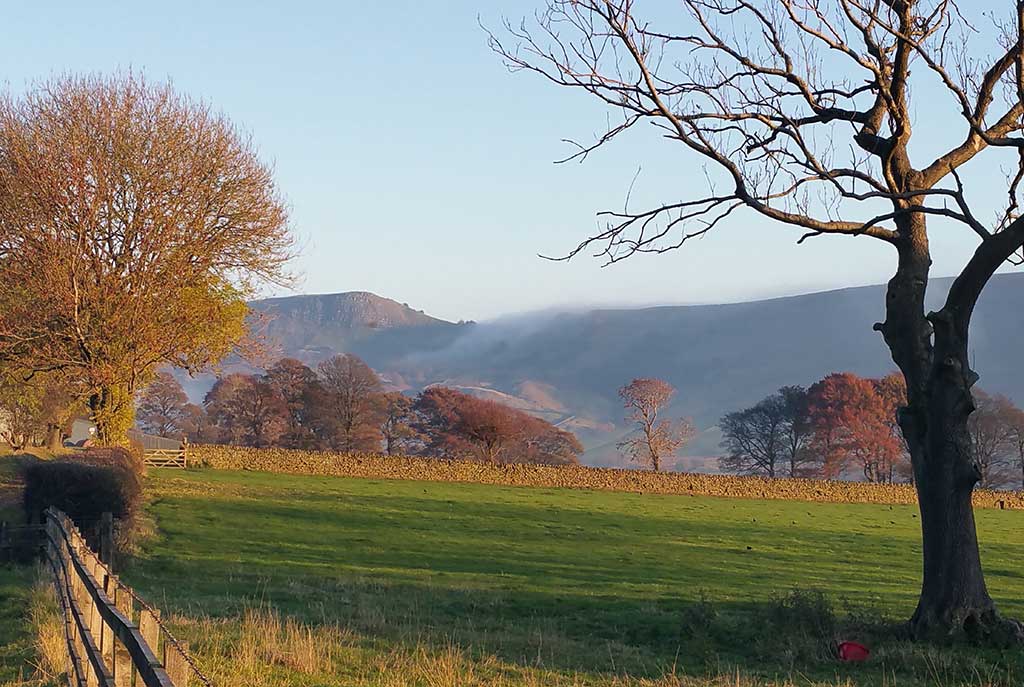
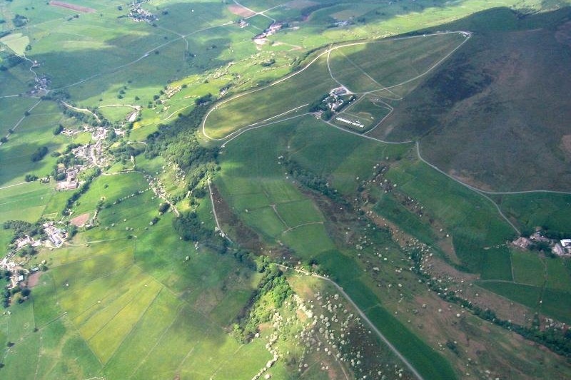
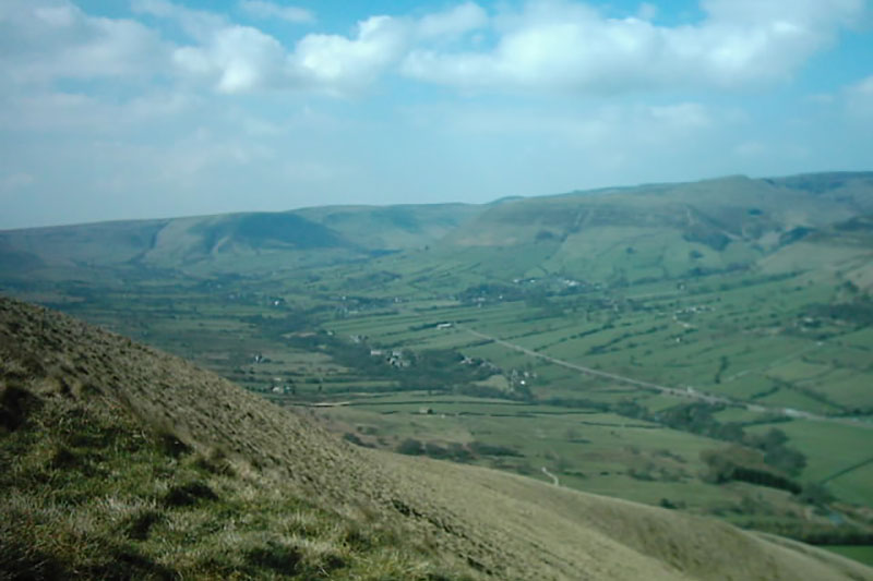
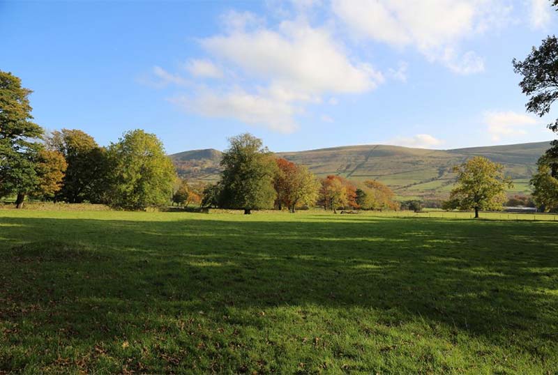
The Vale of Edale lies in the High Peak District, separated from Castleton and the Hope Valley by the low ridge between Mam Tor and Lose Hill. The sheltered valley provides a beautiful location for Ollerbrook Cottages with magnificent views of the local hills, including Kinder Scout, Mam Tor, Back Tor and Lose Hill – peaceful and tranquil, with excellent walking right from your door.
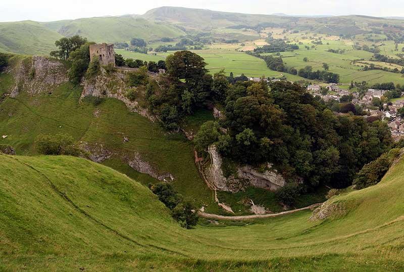
Hope Valley once lay at the centre of the Royal Forest of the Peak, created by the Norman conquerors of England, and there is a Norman castle at nearby Castleton, but Edale was more remote and was probably not permanently settled until the 16th century.
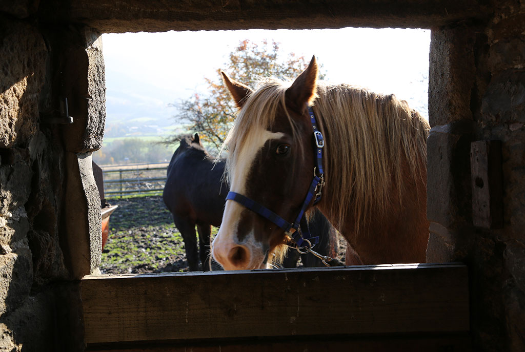
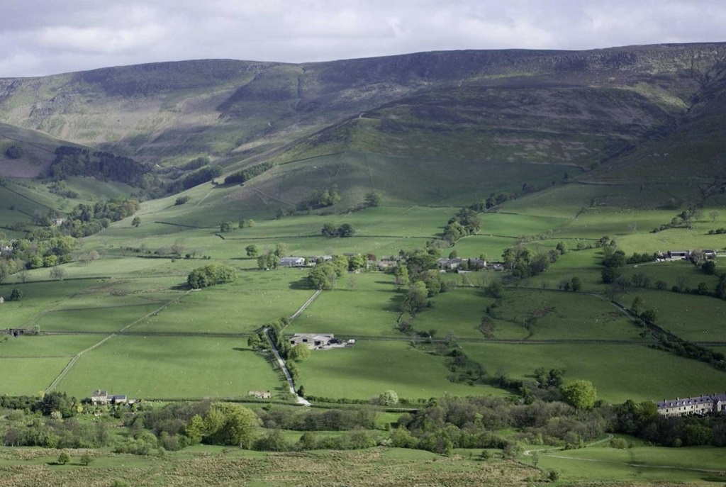
Ollerbrook Cottages date back to the seventeenth century, maybe earlier. Built of local gritstone with flagged roofs, and set next to the owner’s home, they merge into the little hamlet, amidst tall trees, at the base of Kinder Scout, the highest peak in Derbyshire.
The two cottages together sleep 8 people in a double, a twin and 2 singles, or for smaller groups, Curlew Cottage sleeps 3 in a double and a single bedroom and Plover Cottage sleeps 5 in a double, a twin and a single bedroom.
Having direct rail access to both Sheffield and Manchester, Ollerbrook Cottages are an ideal and convenient location for reunions, friends groups and get togethers. Just a 30 minute train journey and you can be in Edale to enjoy each other’s company, stay in luxury accommodation and appreciate the fabulous natural surroundings!
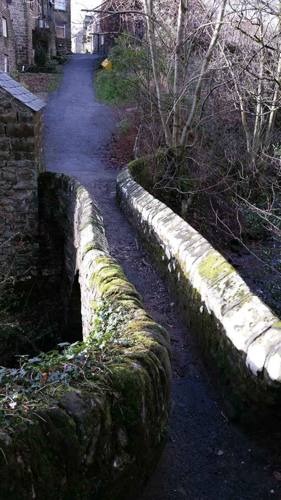
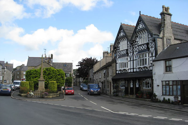
There are two pubs in the village, only a few minutes’ walk away over the fields in Edale Village, both serving food, plus a small village shop and a café. Another historic coaching inn can be found five minutes’ drive away towards Hope, again serving food.
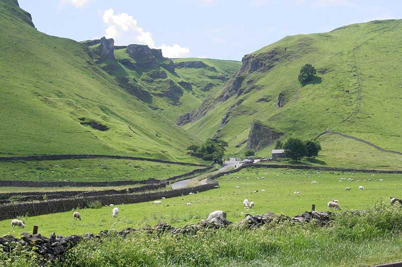
Edale Valley and the nearby Hope Valley lie in the High Peak District, conveniently situated for walking, climbing and all types of outdoor activities. It is also a perfect location from which to explore all the major attractions of the Peak District, such as Chatsworth, Haddon Hall, Dove Dale, Castleton’s wonderful caverns and Buxton with its famous Opera House and Pavilion.
Being close to Manchester and Sheffield, there are many options for family days in the many art galleries, museums and theatres – not to mention the shopping at Meadow Hall and the Trafford Centre!
